|
Managing Organization:
U.S. Coast Guard
Notes:
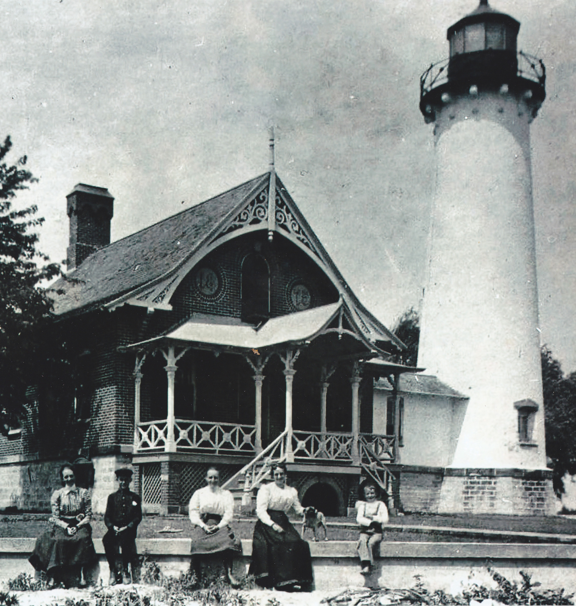
The 1908 lighthouse at this location was demolished, and in 1946 the keeper's quarters was moved and became a private residence. Tower Height: 63 Height of Focal Plane: 60 Characteristic and Range: One green flash and two white flashes, followed by 5 second darkness. Description of Tower: Skeletal tower on top of Coast Guard air station hangar.
This light is operational
Earlier Towers?
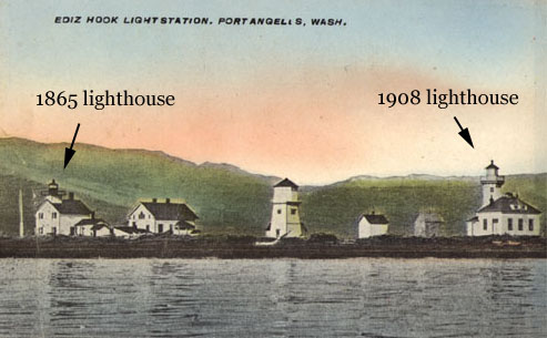
1865: Square tower on roof of keeper's house. 1908: Octagonal wooden tower on roof of keeper's house. Date Established: 1865 Date Present Tower Built: 1936 Current Use: Active aid to navigation. Open To Public? No. Directions:
Ediz Hook is a long spit extending into Port Angeles Harbor. This site is part of an active Coast Guard station and is not open to the public. There is a Coast Guard museum at the station that includes lighthouse-related items. Mapquest URL: Click here to get a map to this lighthouse! Keepers: George K. Smith (1864-?), Mary L. Smith (1870–1874), Laura P. Balch Stratton (1874–1885), Joseph E. Evans (1885–1887), Franklin Tucker (1887–1896), James Barry (1896–1897), James F. Barker (1897–1900), Axel Rustad (1900–1907), Jesse E. Thomas (1907–1923), Albert Beyer 1924?–1932), Criss C. Waters (1933–1951)
|