|
Managing Organization:
Canadian Coast Guard
Notes:
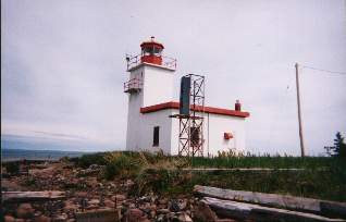
Caribou Island is attached to the mainland by a narrow spit of land, and the island is very popular for birdwatching. Tower Height: 40 Height of Focal Plane: 44 Characteristic and Range: Three white flashes every 24 seconds. Description of Tower: White, square tower with red lantern.
This light is operational
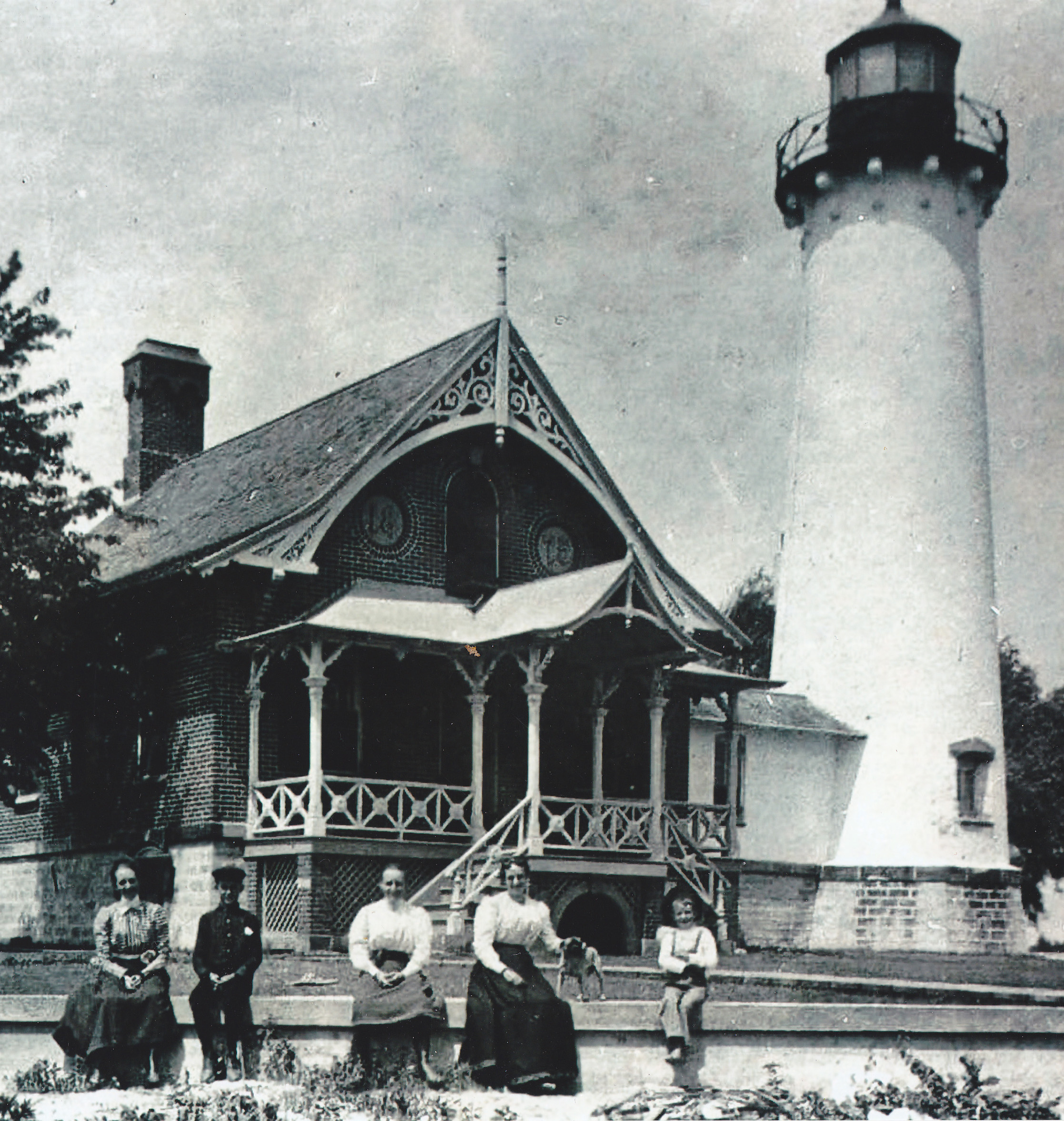
Earlier Towers?
1868: Lantern on roof of dwelling. Date Established: 1868 Date Present Tower Built: c. 1971 Current Use: Active aid to navigation. Open To Public? Grounds only. Directions:
From Pictou: Take Highway 6 at the Pictou Rotary towards River John. Turn right after about four miles at Three Brooks. Follow this road for aproximately 2.5 miles. Just before Central Caribou you will turn left onto the shore road. Travel the shore road for two miles until you come to Waterside. When you reach Waterside, follow the signs for the Provincial Park and turn right towards the shore. There is a parking area here at the park and outhouses. You can then continue through the parking area eventually turning left onto the road that runs the length of the island. The lighthouse is at the other end of the island. From Bob Crawford: "This is a great spot to view the ships to and from PEI/NS...very peaceful and quiet." Keepers: Walter Richards
|